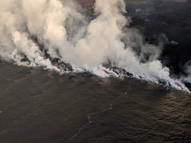
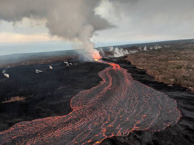
HILO — The Hawaiian Volcano Observatory reported Sunday morning that eruption activity continues from fissure 8 into the lava channel flowing to the ocean entry at Ahalanui producing a large laze plume.
HILO — The Hawaiian Volcano Observatory reported Sunday morning that eruption activity continues from fissure 8 into the lava channel flowing to the ocean entry at Ahalanui producing a large laze plume.
The most vigorous ocean entry is located a few hundred yards northeast of the southern flow margin with a few tiny pahoehoe toes were entering the ocean from the Kapoho Bay lobe to the north. The southern margin of the flow remains about 0.3 miles from the Pohoiki boat ramp and Isaac Hale Park.
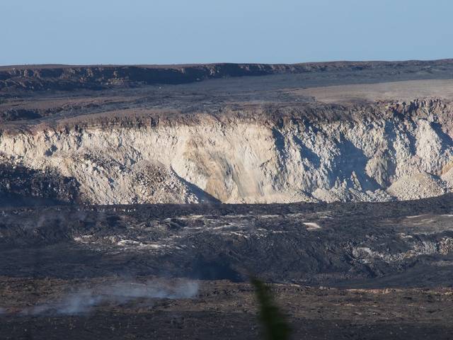
Earthquakes continue at the Kilauea summit. A collapse-explosion event occurred at 9:43 a.m. Saturday with energy released the equivalent of a magnitude-5.4 earthquake.
Meanwhile, the speed limit on Highway 11 remains reduced to 25 mph between mile markers 28 and 30, in the area of the Hawaii Volcanoes National Park entrance, due to cracks in the road.


WHT your articles is about Pohoiki. So why all these other pictures that don’t show lava by Pohoiki. Is it really that hard to get a picture with Pohoiki boat ramp here and lava there?