HILO — One highway closed due to volcanic activity will reopen and another partially reopen in lower Puna Tuesday morning, the county said Monday.
Highway 130 will reopen to all traffic starting at 8 a.m. Tuesday. It is currently closed to all but local traffic at the corner of Highway 132 next to Pahoa High School.
In addition, Highway 137 will be open from Highway 130 north to Opihikao Road.
Kamaili Road and Cinderland Road will be open to residents only.
The county said all businesses in the Kalapana area, including vacation rentals, can resume normal operations. The county had requested a moratorium on vacation rentals in the area.
MacKenzie State Recreation Area and the new lava flow areas remain closed, the county said.
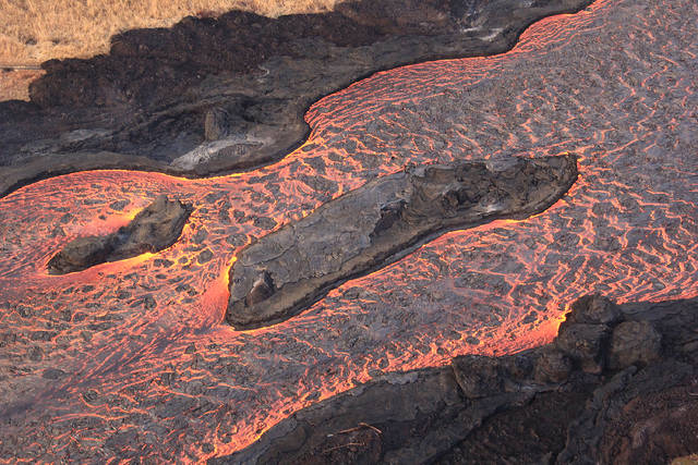
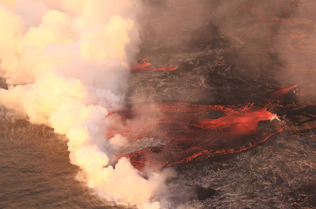
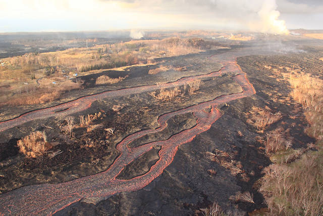
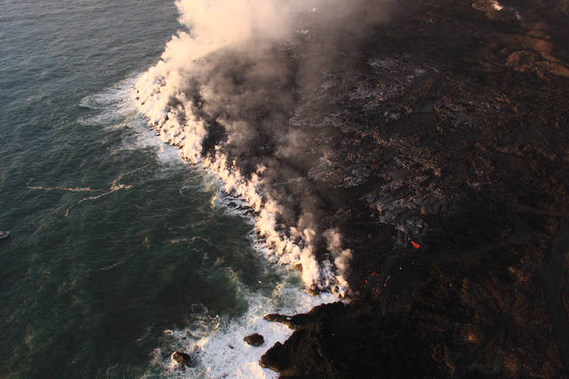
Hawaiian Volcano Observatory reports that fissure No. 8 continues to be very active and is feeding a lava channel to the ocean at Kapoho. The flow is producing a broad ocean entry along the shoreline, and is also oozing fresh lava at Kapoho Beach Lots. There’s also a number of spillovers near the “Y” intersection of 132 and Kapoho Road, according to Janet Snyder, Mayor Harry Kim’s spokeswoman, who said lava may have again breached the boundary at Puna Geothermal Venture.
Gas emissions from the fissure eruption and laze at the ocean entry continue to be very high.
Fissure No. 22, is also active and producing a short flow that has advanced about 100 meters.
There was another collapse/explosion at Kilauea’s summit at 1:24 a.m. today with the energy the equivalent of a magnitude-5.3 earthquake. The dust plume rose about 1,200 feet. Seismicity remains relatively high at the summit and the timing between explosive events is about 30 hours, according to HVO geologist John Major.
The National Weather Service reports trade winds will push vog to the south and west side of the island.
According to Hawaii County Civil Defense, the emergency alert warning sirens will be tested today at 11:45 a.m. This is the normal monthly test of the emergency alert warning sirens on the first working day of the month.